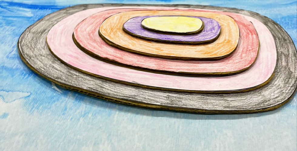
The Earth's surface is anything but flat, as is the case with a map. There are two dimensions to maps and three dimensions to the Earth's surface. For elevation above sea level, maps use contour lines. The term "topographic maps" refers to maps that feature contour lines.
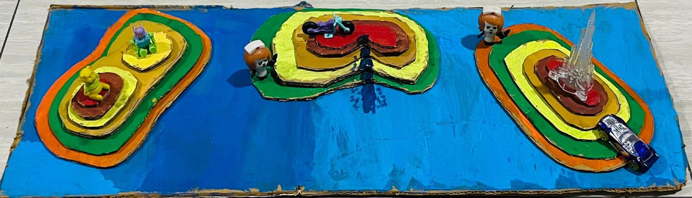
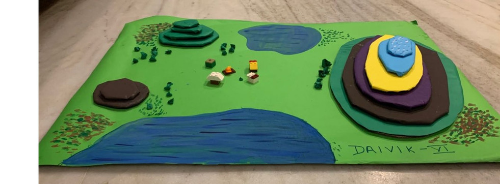
To summarise the entire topic of map skill, Students in Grade 6 were asked to create a 3D model of an island that demonstrates how contour lines on a map indicate the height and shape of the land. Finally, the students were able to grasp a basic understanding of various geographical landforms. They could also describe the relief of their three-dimensional model.
School - Garodia International Centre for Learning in Mumbai, GICLM


Comments